Nuclear techniques for assessing and validating measurements
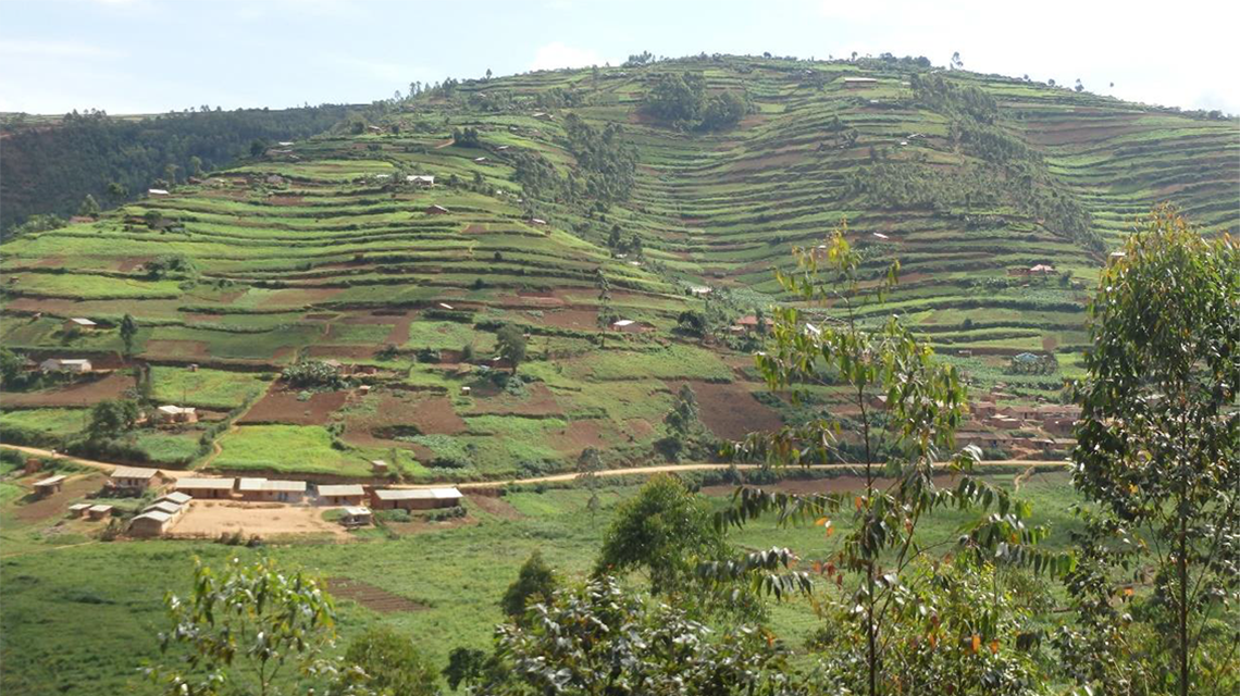
Researchers from Uganda, Rwanda and China had evaluated soil erosion in the country, most recently in 2017, using a conventional non-nuclear modelling method. The results obtained by the Universal Soil Loss Equation (USLE) – a mathematical model that describes the long term average annual rate of erosion – suggested that the mean rate of soil erosion in the highlands is between 10 and 100 tonnes per hectare per year (t/ha/y), commonly reaching more than 100 t/ha/y. The highlands’ rates exceeded the country’s average of 3.2 t/ha/y and highlighted the need for soil conservation measures to ensure sustainable agricultural production. The estimated rates provided by those models lacked validation that needed to be obtained by field measurements.
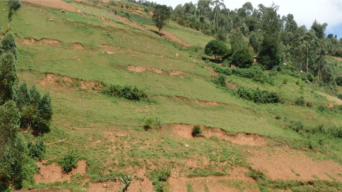
Using Cs-137 radionuclide as a tracer, researchers sampled 41 soil profiles to measure erosion rates. “Only four soil profiles were stable – showing neither erosion nor deposition – and six profiles showed deposition, where sediments from erosion have accumulated, altering the shape of the land,” Fulajtar said. The remaining 31 profiles were eroded, with a maximum erosion rate of 96 t/ha/y and average rate of 30.4 t/ha/y. The field measurements obtained with Cs-137 supported estimates calculated by the USLE. The Cs-137 method (see Fallout radionuclides to assess soil erosion) has been applied in over 70 countries through the IAEA’s technical cooperation programme and coordinated research projects to measure erosion rates and validate the efficiency of conservation methods.
Because of the discrepancy between the number of deposition and erosion profiles, Fulajtar concluded that “most eroded soil was removed from the cultivated terraced slopes and ended up on foot slopes and valleys or as suspended sediment in rivers and lakes,” which subsequently affects the quality of water resources.
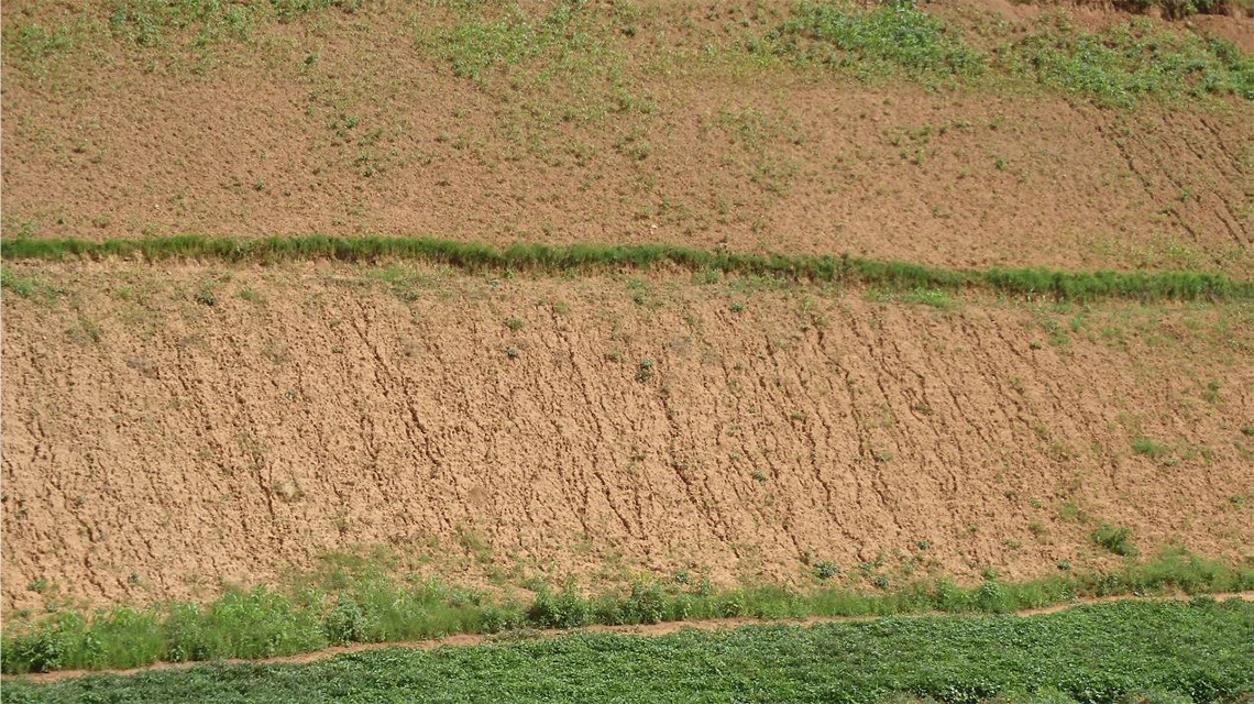
Since the early 1960s – when Cs-137 was released into the atmosphere from nuclear weapons tests and deposited on the Earth’s surface – until the time of sampling in 2018, more than 60 per cent – or 12.6 cm – of the cultivated topsoil layer had been lost to erosion. Additional soil conservation measures are needed, Fulajtar said, suggesting three promising approaches: no-tillage land management to reduce soil erosion caused by rainfall, while increasing the amount of water that infiltrates into the soil; switching to crops with higher soil conserving efficiency, for example from cassava, sorghum, peas and beans to wheat or other densely seeded crops; and erosion ditches to stop runoff and the displacement of sediments.
The IAEA studies were reported in Uganda's National State of the Environment Reports to help guide decision makers on environmental issues. “Policy makers need information on the rates of soil erosion, its effect on people’s livelihood and the effectiveness of the different soil conservation measures to enable them to pass relevant policies, by-laws and ordinances for the sustainable use of natural resources on which 4.2 million smallholder farming households derive their livelihood,” said Crammer Kayuki Kaizzi of NARL. “Reduced soil erosion through better soil and water management will result in reduced siltation of rivers, lakes and other open waters to benefit the environment, smallholder farmers and people living in rural areas. Access to quality water is important since the majority rely on unprotected springs and open wells for domestic use.”